
About Us
Welcome to the home of the University of Florida Geomatics Program at the Fort Lauderdale Research & Education Center! Our degree programs cover a broad spectrum of geospatial subject areas including professional surveying, geographic information systems, global positioning systems (GPS), photogrammetry, cartography, geodesy, mapping, geographic information sciences (GIS), remote sensing, integrated land studies, land development, and environmental assessment.
Our program reaches students in the South Florida area including Broward, Miami Dade, Palm Beach, Monroe, Collier, Martin, Okeechobee, Indian River, and St. Lucie counties. From right here in your community, we offer a Bachelor of Science, Master of Science, and Doctor of Philosophy degree in Geomatics from the University of Florida.
Incoming students have graduated from local colleges or other universities with backgrounds ranging from Engineering to Natural Resources. If you are a prospective student, please look around this site at the many opportunities that are available.
This degree program leads to diverse and well-paying professional career opportunities. A number of scholarships, internships, and assistantships are available to get you there.
Please feel free to contact us to schedule an advising appointment and explore your options. We look forward to hearing from you!
–The UF Geomatics @ Fort Lauderdale Team
-
Facilities
In December 2010, we moved into our brand new Geomatics facilities on the second floor of the Davie West building.
We have two classrooms dedicated solely to the Geomatics program. One classroom is a lecture style classroom. The other classroom is a fully functioning computer lab equipped with the latest geospatial software including ArcGIS, ERDAS IMAGINE, VrTwo Photogrammetry suite, AutoCAD, and AutoCAD Civil3D. Both classrooms are equipped with state of the art Polycom A/V equipment for interacting with students and professors throughout the state of Florida and beyond.
Photo Gallery
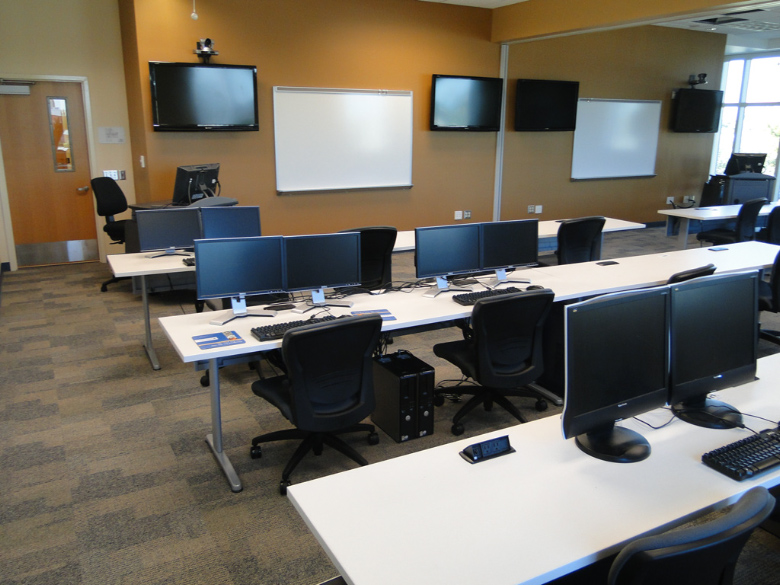
Classroom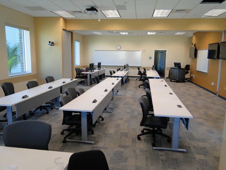
Classroom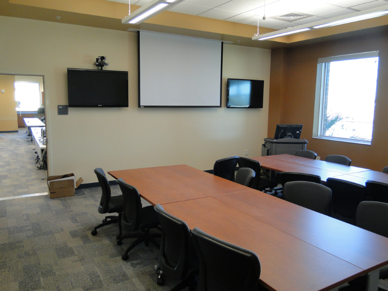
Conference Room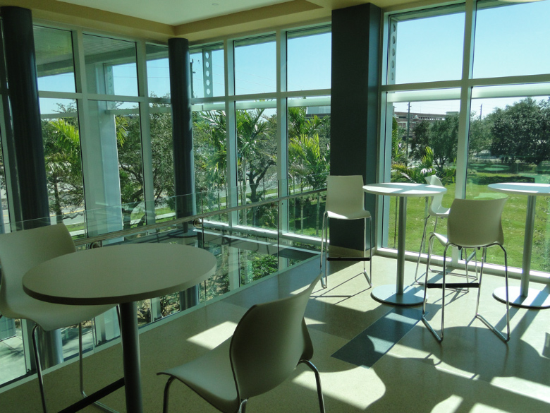
Lounge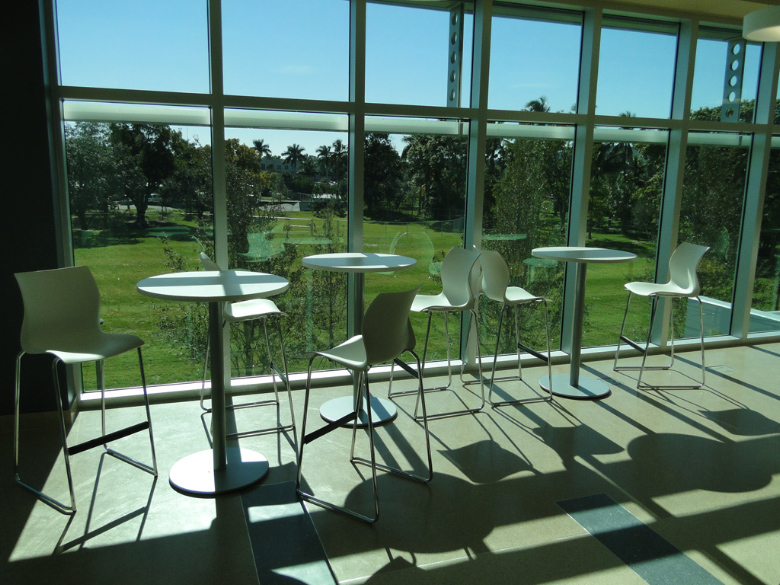
Lounge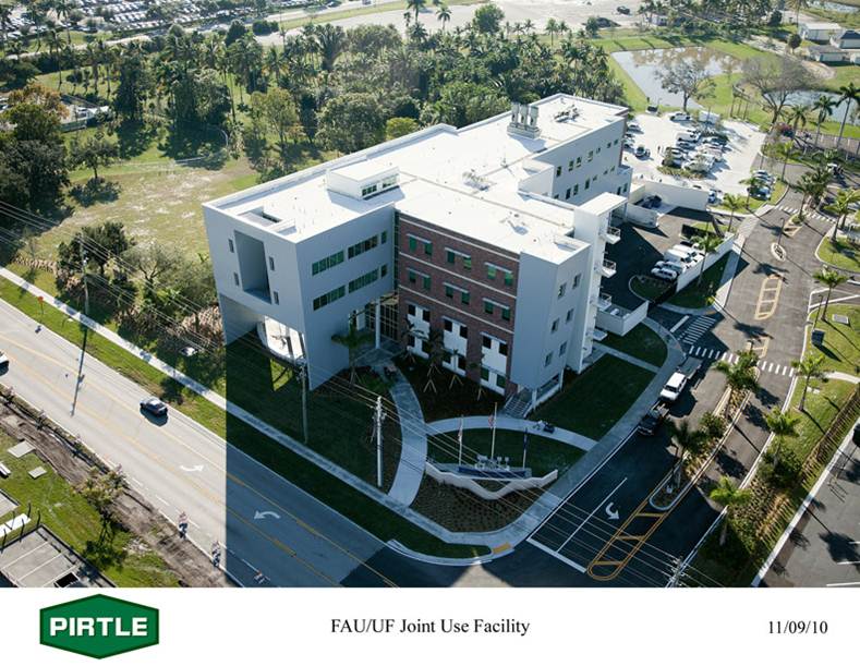
FAU/UF Joint Use Facility -
FLREC Geomatics Advisory Committee
The objective of the University of Florida Fort Lauderdale Research and Education Center Geomatics Advisory Committee is to collaborate with leaders in the local surveying and mapping professional community on aligning the Geomatics program with the needs of the profession. The following individuals are active leaders in the Florida Surveying and Mapping Society (FSMS) and the local geospatial industry. They have proven to be valuable resources for both FLREC Geomatics staff and students.
Andrew Baranowski
CDM SmithMike Bartholomew
Biscayne Engineering Company, Inc.Lou Campanile, Jr.
McLaughlin EngineeringNick Campanile
Florida Department of Transportation (FDOT)Keary Cunningham
City of SunriseJose Hernandez
Jose Hernandez & Associates, Inc.Chris Jennings
Broward CountyScott A. McLaughlin
McLaughlin EngineeringRick Pryce
Craven Thompson & AssociatesEmily Zeilberger
Federal Emergency Management Agency (FEMA) -
Location
Mailing Address & Parking:
University of Florida
Fort Lauderdale Research & Education Center
3205 College Avenue
Fort Lauderdale, FL 33314-7719Lat 26°5’2.29″N
Long 80°14’14.03″WGeomatics Facilities Address (Non-Mailing):
UF FLREC Geomatics Program
Davie West Building (FAU signage out front)
2nd Floor – North Wing
3323 College Avenue
Fort Lauderdale, FL 33314Lat 26°4’57.57″N
Long 80°14’17.04″W